Corregidor is known as one of the battlegrounds in the Philippines during World War II The island is shaped like a tadpole, 9 sq kms in area.
My sister, Luchie and husband Peter who is visiting from Canada, has included Corregidor in their itinerary plus Palawan and Boracay.
World War II
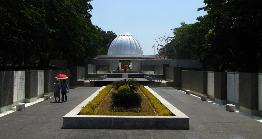
During the Battle of the Philippines (1941–42), General Douglas MacArthur used Corregidor as Allied headquarters until March 11, 1942. Between December 24, 1941 and February 19, 1942, it was also the temporary location of the Government of the Commonwealth of the Philippines—on December 30, 1941, outside the Malinta Tunnel, President Manuel L. Quezon and Vice-President Sergio Osmeña were inaugurated for a second term. The Voice of Freedom, the radio station of the USAFFE (United States Army Forces in the Far East) broadcast from Corregidor, including the famous announcement of the fall of Bataan. Japanese troops forced a surrender of the remaining American and Filipino forces on Corregidor on May 6 after the Battle of Corregidor.
The Battle for Corregidor was the culmination of the Japanese campaign for the conquest of the Philippines. The fall of Bataan in April 9, 1942 ended all organized opposition by the U.S. Armed Forces in the Far East (USAFFE) to the invading Japanese forces on Luzon in the northern Philippines. The island bastion of Corregidor, with its network of tunnels and formidable array of defensive armament, along with the fortifications across the entrance to Manila Bay, was the remaining obstacle to the 14th Japanese Imperial Army of Lieutenant General Masaharu Homma. The Japanese had to take Corregidor; as long as the island remained in American hands, they would be denied the use of the Manila Bay, the finest natural harbor in the Orient.
The island is about 48 kilometers west of Manila. It is shaped like a tadpole, with its tail running eastward, and has a land area of 9 km². Along with Caballo (which lies 2 km south of the "tail's" tip), it partially blocks the entrance to Manila Bay, and thus has strategic importance. It also creates a northern and southern entrance to the bay.
Because of its rocky landscape and the fortifications of Fort Mills, the island was also known as "the Rock"[cite this quote].
Geologically the island is a remnant of a volcano, Corregidor Caldera, last active about 1 million years ago. Philippine Institute of Volcanology and Seismology regards it as a potentially active volcano.
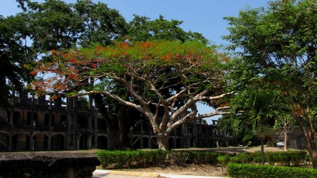
.A large flat called Topside, was the nerve center of the Island and here was located the headquarters, barracks for enlisted personnel, a branch of the Philippine Trust Co. bank, the Cine movie theater, officers' quarters, underground ordnance shops, the traditional parade grounds, an Officers' Club with a 9 hole Golf Course , tennis courts, and swimming pool, and the bulk of the batteries that constituted the strength of Corregidor.
(Source: Wikipedia)